My son Oliver’s August birth was right in the middle of a baby boom happening in my church. So many, mostly boy babies, have joined our little group. This led to the creation of what I call the Stroller Gang. Community is so important and can be hard to find in the throws of babyhood. So meeting up for a stroller walk was the perfect solution; babies can sleep, and mommies can drink coffee and share all our joys and struggles. We meet weekly and walk in different parks around Chattanooga.
I’d noticed the TN Riverpark’s Riverwalk near my house, so I suggested we walk there. What a fun discovery. I had no idea I was signing us up for weeks and weeks of Tennessee Riverwalk, but we have loved every moment of it, and as we approach the end of it, I thought I’d share with you moms how to make great use of this fantastic resource.
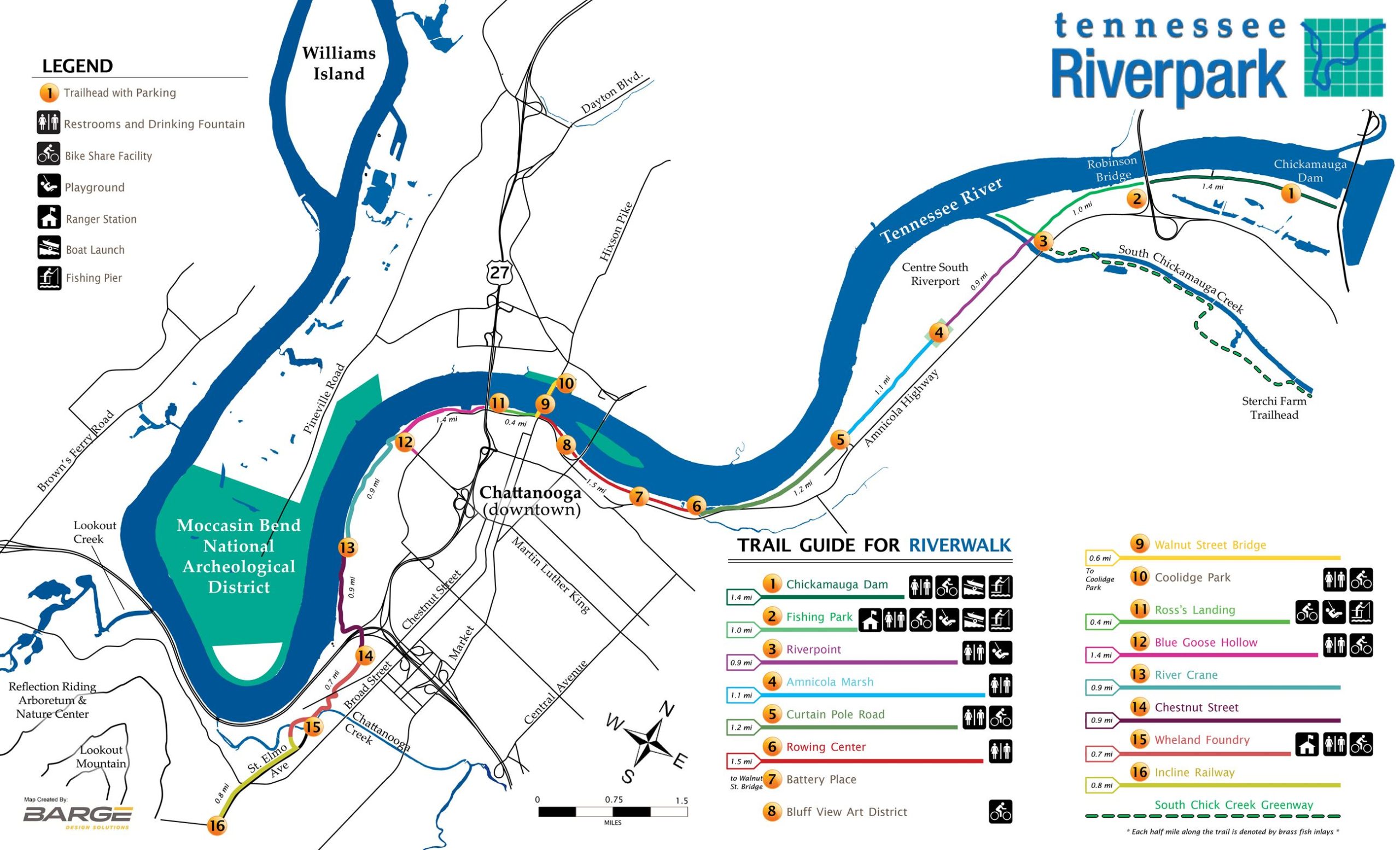
The Hamilton County Parks department provides this map and other information on its website. Check it out here.
Getting there
This 16.1-mile path may seem intimidating, but it’s broken down into really manageable sections. The map above shows sections of the trail and the length of each one of them. We have managed to walk each section and back to our cars in around an hour each time. The longest section is just a mile and a half. This section also surrounds the Bluff Street art district and Walnut Street bridge, which means you could break it into smaller sections if you needed.
The above trail guide gives you a pretty good idea of where to park, but I found I had to do a little googling to find the right places to park, so to make your exploration a little easier, let me list them here for you:
Starting from the Dam:
Tennessee Riverwalk Dam (1.4 miles)
Fishing Pond (1.0 mile)
Riverpoint (.9 mile)
Amnicola Marsh (1.1 miles)
Curtain Pole Rd (1.2 miles)
Rowing Center (1.5 miles)
Battery Place, Bluff View Art District, Walnut Street Bridge, and Ross Landing (park downtown off Amnicola just about anywhere near these areas, and you will find the trail)
Blue Goose Hollow (1.4 miles)
River Crane (.9 mile)
Chestnut Street (.9 mile)
Wheland Foundry (.7 mile)
Incline Railway (.8 mile)*
*Mileage indicators are from that landmark/parking spot to the next (i.e. from the Dam to the Fishing Pond is 1.4 miles). The path ends at the Incline Railway entrance in Saint Elmo. It’s unclear to me at this point if that section of the path is well-marked out since we haven’t finished yet.
Best Features
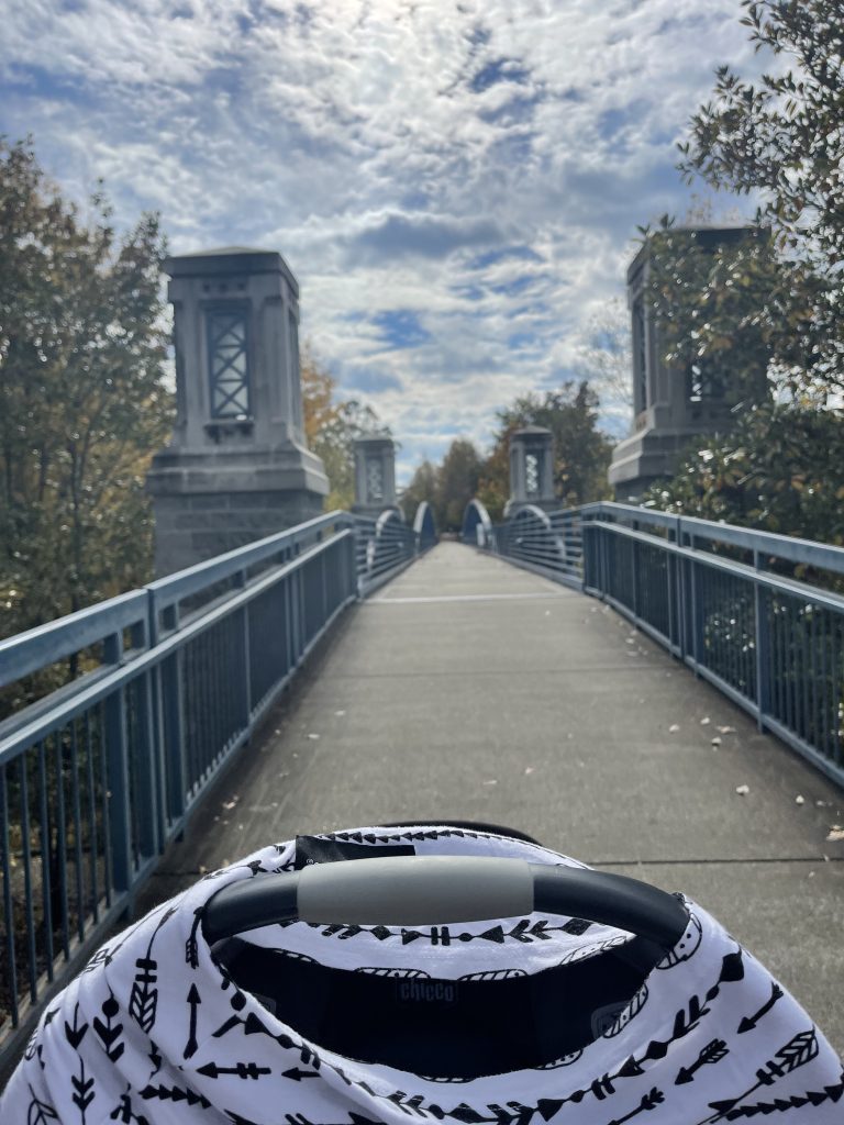
- My favorite section of the walk is parking by the Boathouse Restaurant (Rowing Center parking link above) and walking to the Bluff View Art District. This stretch of the trail has some nice bridges, greenery, city views, and a look at the exclusive Patton Tennis Center.
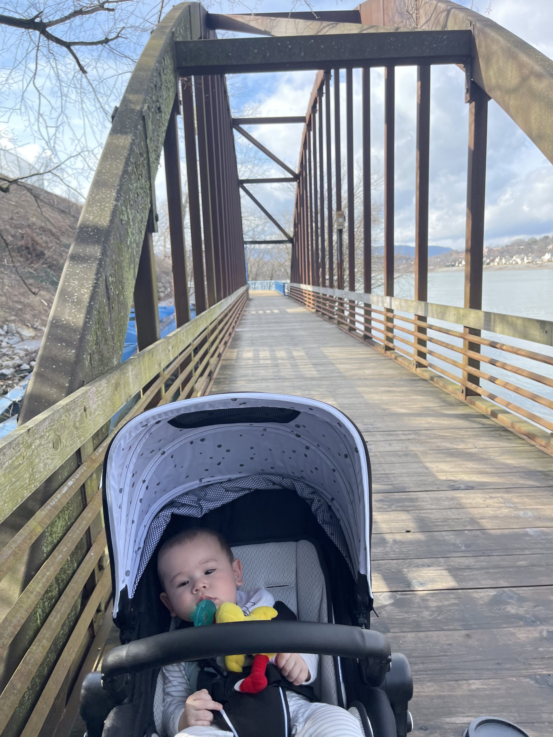
- Lovely bridges, boardwalks, and paved pathways make it easy to walk.
- You can also run, bike, or skate the path.
- There are nine silhouette mile marker sculptures and other beautiful art along the path.
- Playgrounds, picnic shelters, and river access are great options if you aren’t looking for just a walk.
- Lots of great parking, bathrooms, and drinking fountains along the way.
- Signage from Amnicola and other streets to the parking areas makes it really clear you are in the right spot.
- Wide paths that lets you walk three to four strollers wide!
- Safe places to let the toddlers down and run!
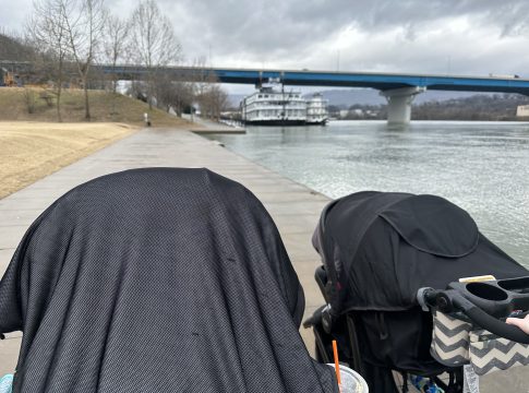
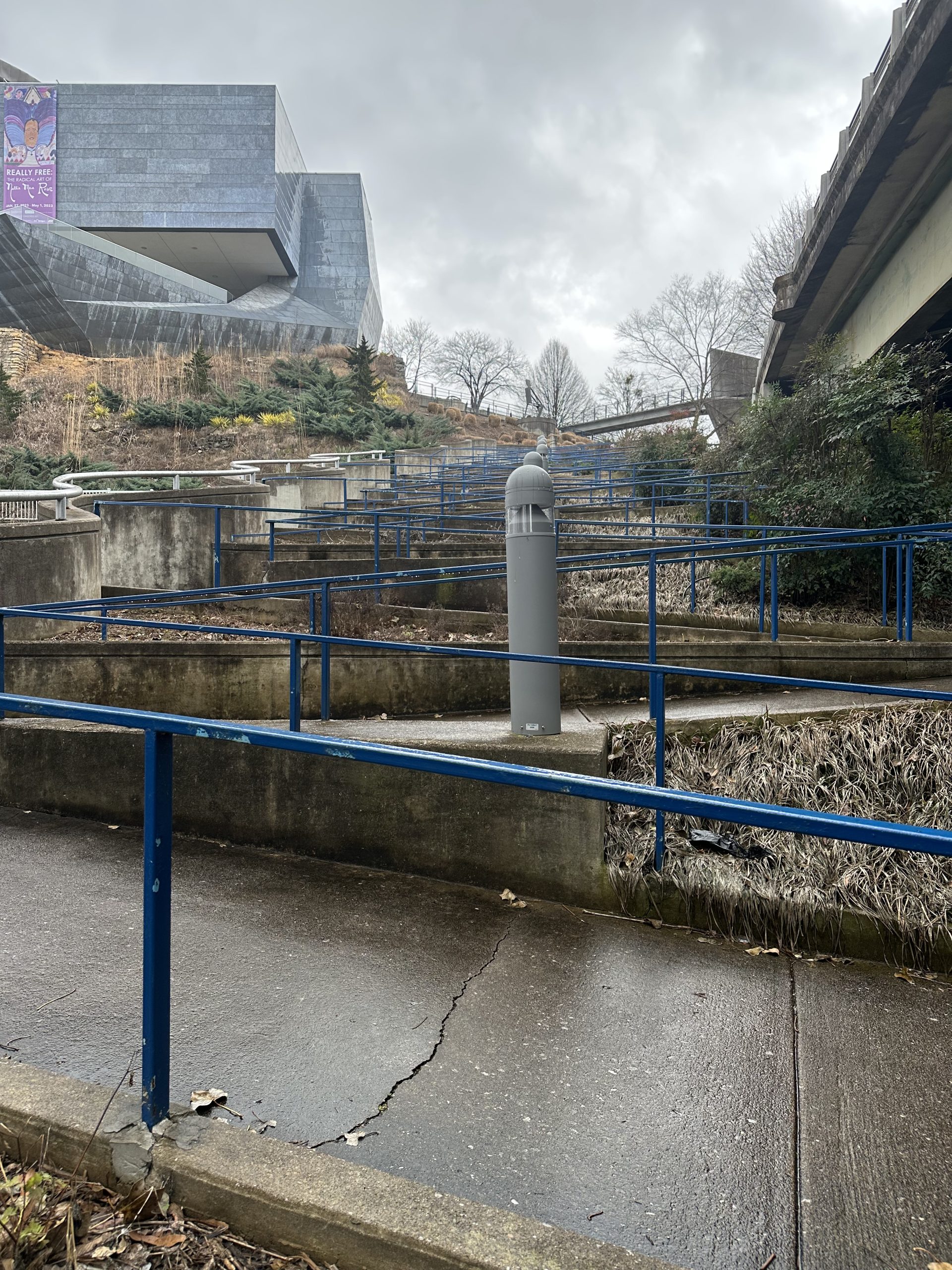
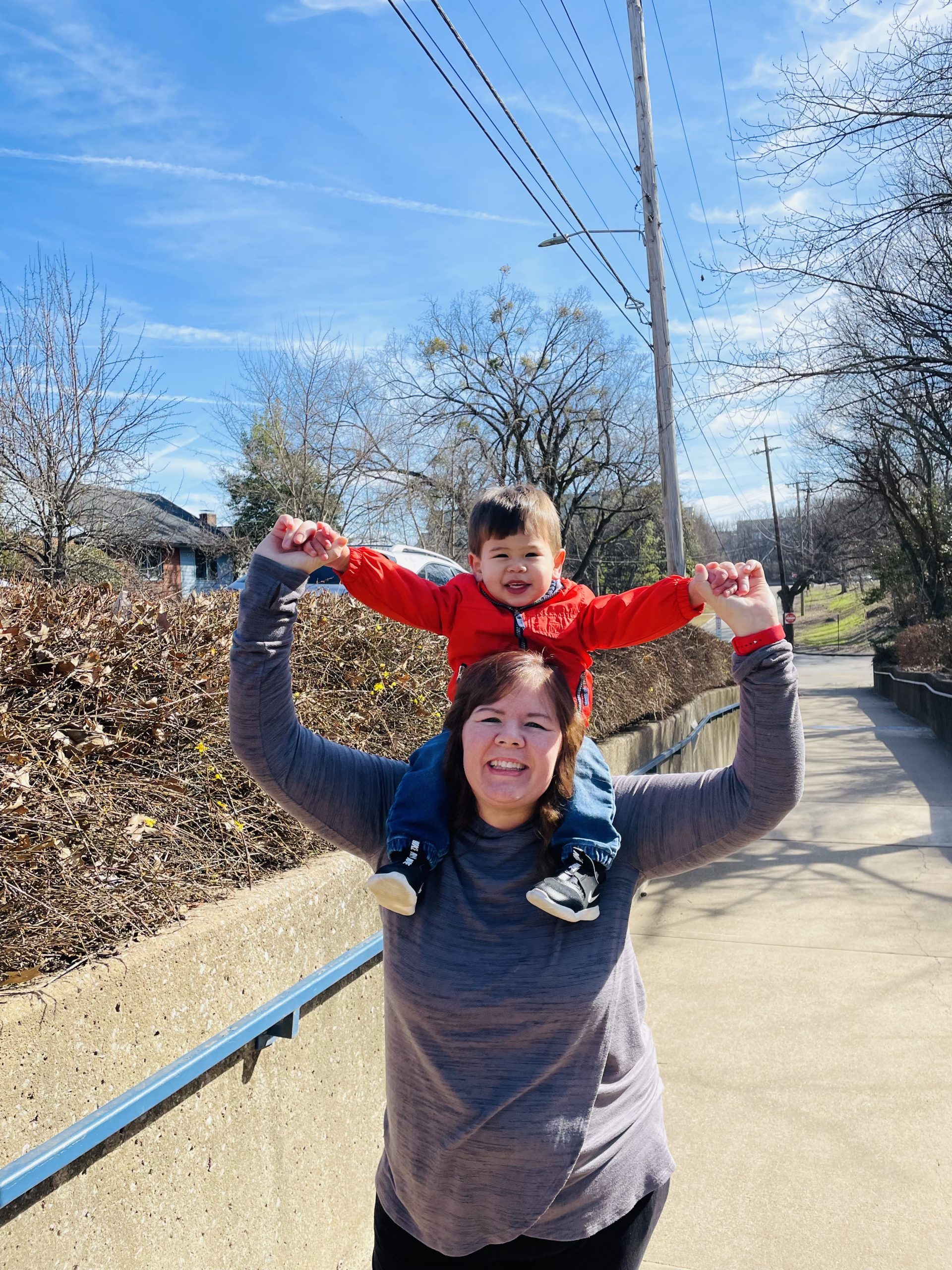
Here are a few pictures I’ve captured along the way!
